

Boston – Stimulating changes big and small
From a post-war decline to a city on the rebound, Boston has remade itself through massive infrastructure projects, as well as smaller insertions to stimulate bigger changes. In this photo essay, we look at some examples of Boston’s urban transformation, big and small.
Rebounding from decline
Boston is the capital and most populous city of the Commonwealth of Massachusetts in the US, and the economic and cultural anchor of Greater Boston. One of the oldest cities in US, Boston has changed dramatically over the past 60 years.
After the Second World War, Boston went into a decline and the city’s population shrank by more than a third. The city and its region rebounded after 1980 with the residents’ tenacity and world-class hospitals and universities as leverage, reinventing into a knowledge economy.
At the same time, the city tackled blight by undertaking massive infrastructure projects and developing new public facilities to spur urban revitalisation.
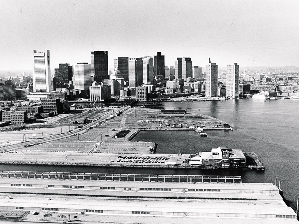
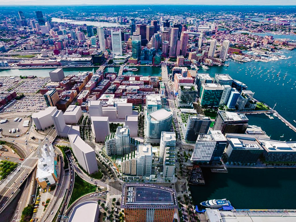 Before and after: Aerial view of Commonwealth Pier, Pier Four and Fan Pier in 1982 (above) and 2017 (below) © Boston Planning & Development Agency
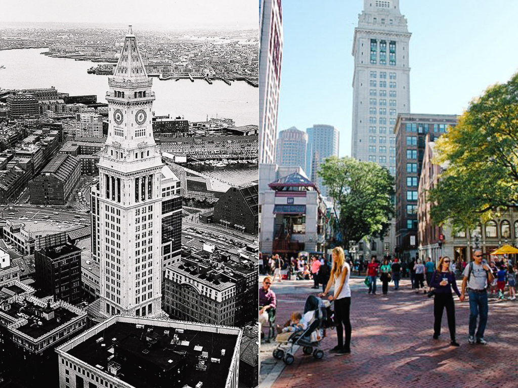 Before and after: The Custom House Tower was completed in 1915, and remained a landmark in Boston’s financial district today. © Boston Planning & Development Agency
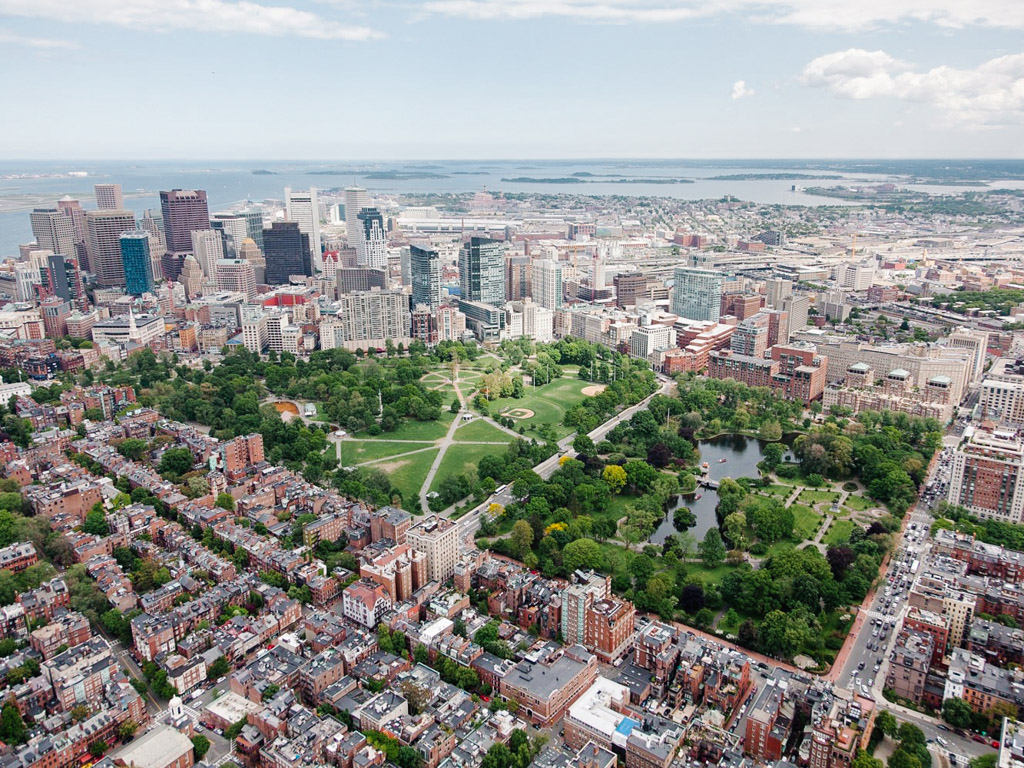 Aerial view of Boston Common © Boston Planning & Development Agency
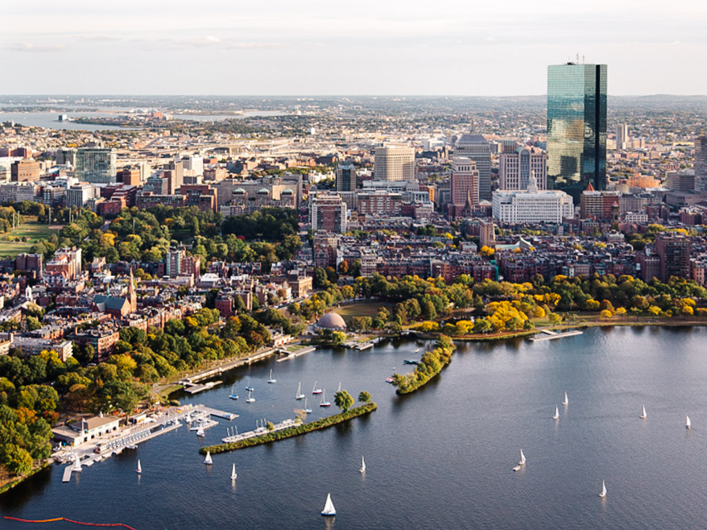 Charles River and Back Bay © Boston Planning & Development Agency
Rejuvenating waterfronts
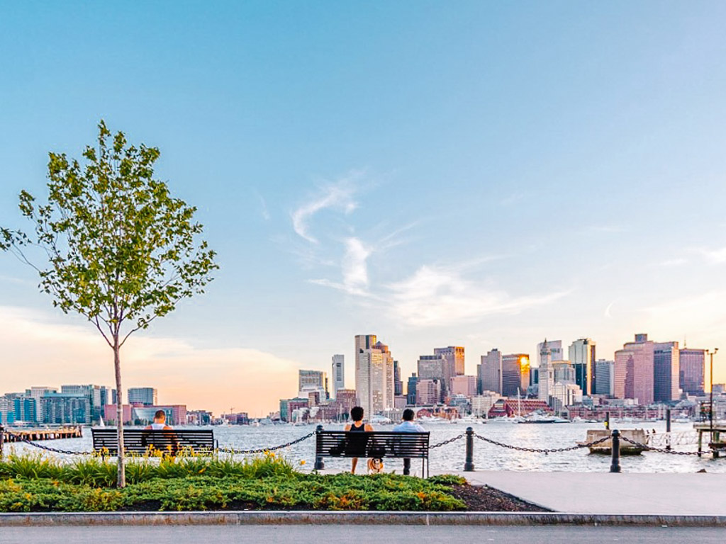
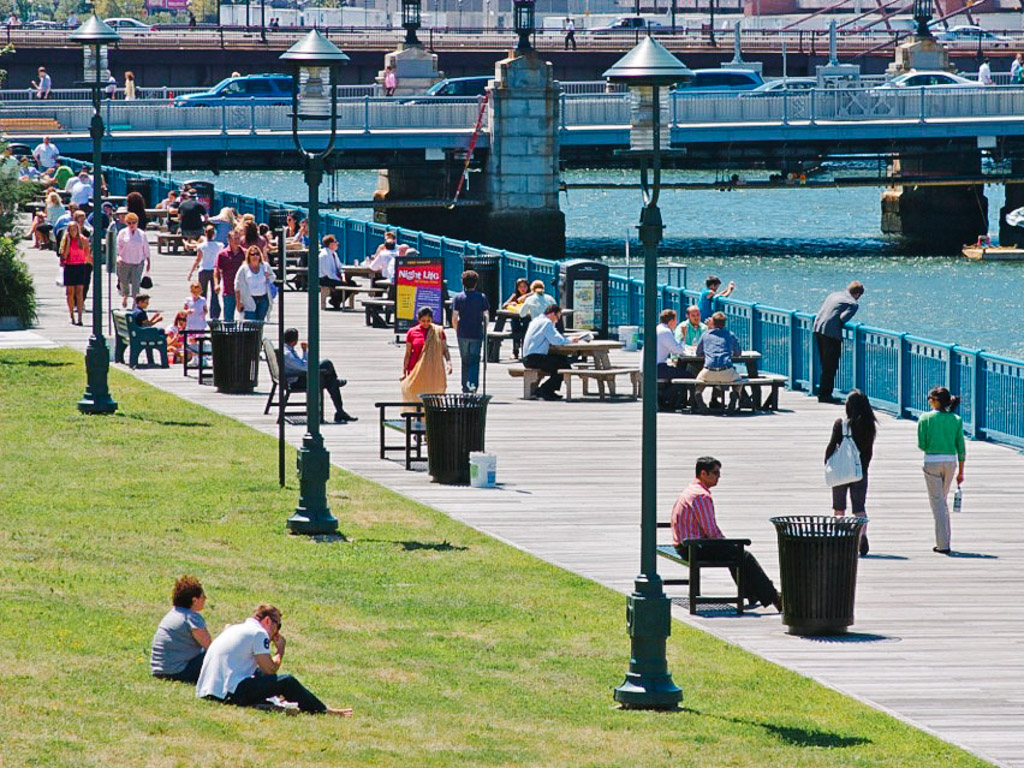
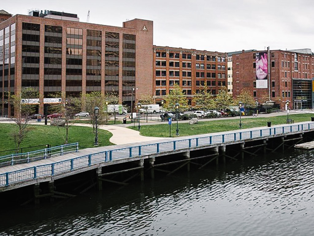
The Boston Harborwalk stretching from Dorchester to East Boston is an important part of the city’s waterfront revitalisation programme. The public walkway connects neighbourhoods to the harbour, linking recreational, cultural and historical attractions, as well as access to public transit. The city set zoning regulations to ensure that the waterfront remains publicly accessible to all.
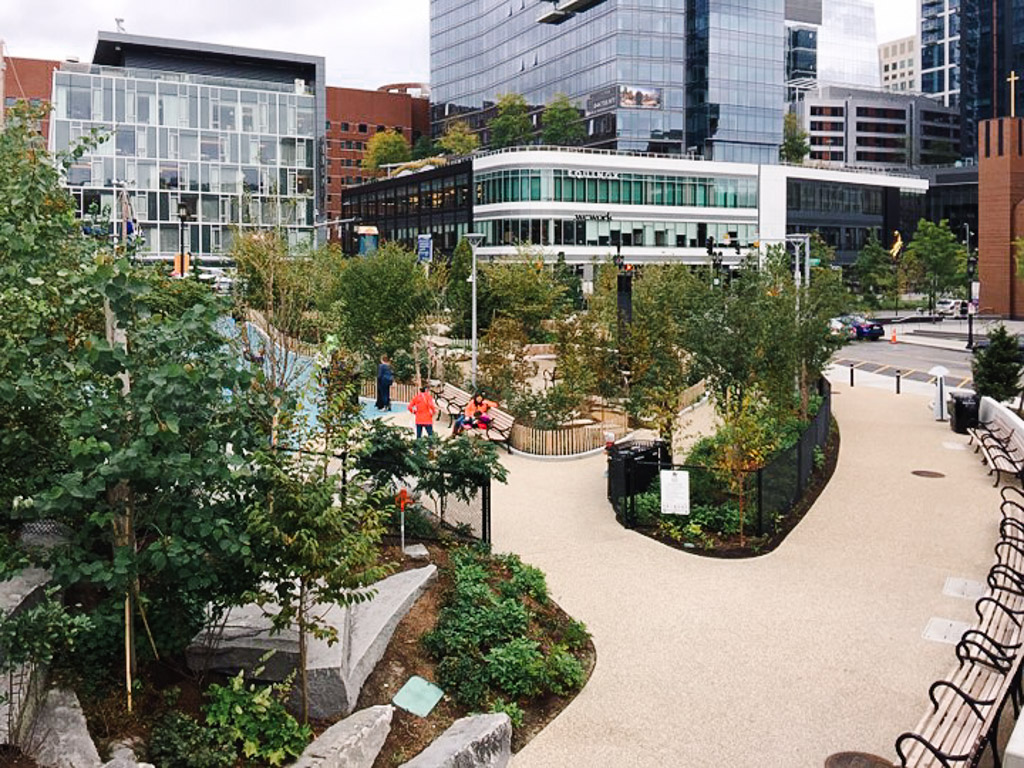
Martin’s Park in South Boston incorporates flood resilient techniques, as well as inclusive play structures allowing children of all abilities to experience discovery and exploration. The park is a natural respite in the dense urban environment, and a meaningful way to honour the youngest victim of the 2012 Boston Marathon bombings while also addressing climate issues.
 Boston Harborwalk © Boston Harbor Now
 Boston Harborwalk © Boston Harbor Now
 Developments are required by zoning regulations to set back from the water’s edge and provide public easement. © Urban Redevelopment Authority Singapore
 Before and after: Martin’s Park before and after. © Boston Planning & Development Agency
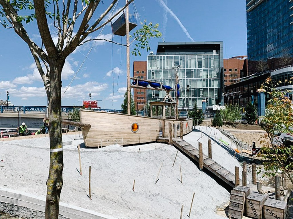 Martin’s Park © Boston Planning & Development Agency
Stimulating changes
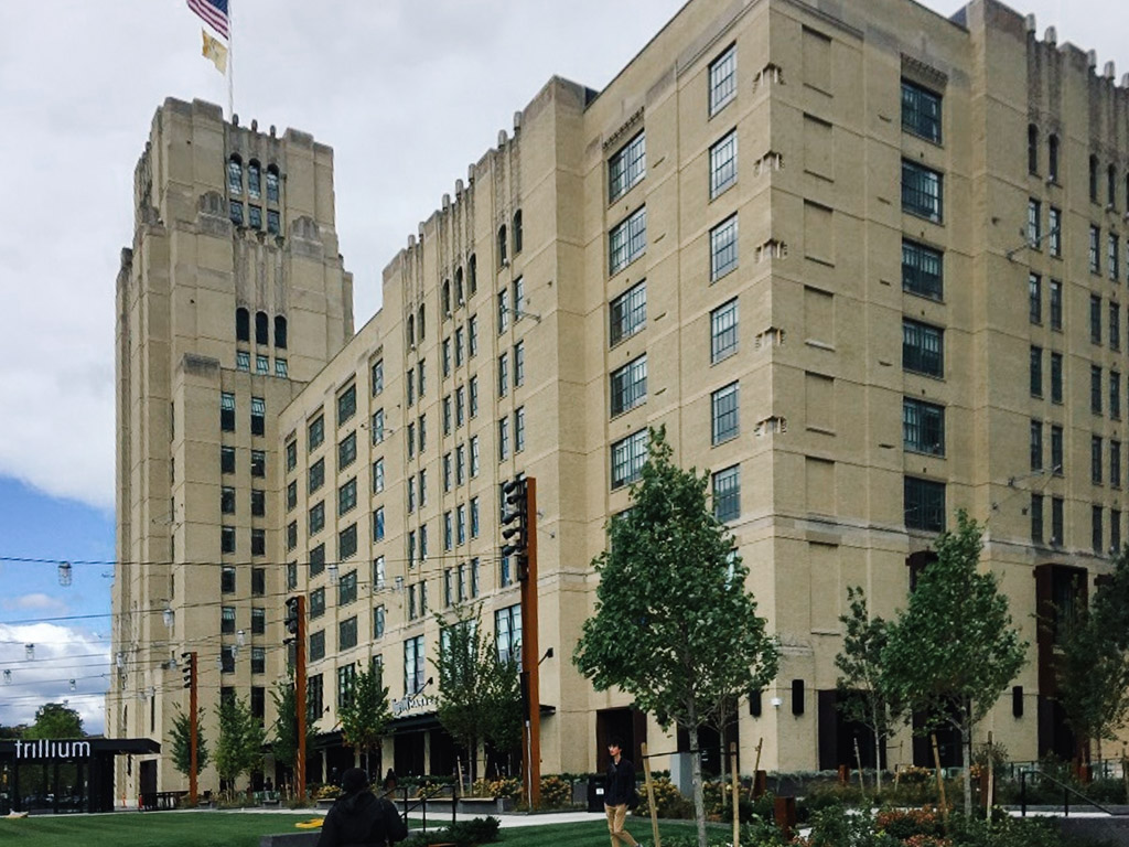
In 401 Park in the Fenway area, the Developer Samuels & Associates worked with the authorities over five years to rezone and up-zone the land parcels. The historic Landmark Centre was renovated and expanded to include a public space and a ‘Time-Out Market’ food hall. The latter became a magnet in the local community and helped spur interest in its surrounding area.
The Bruce C. Bolling Municipal Building is an important civic function (headquarters of the Boston Public Schools) injected into the Dudley Square neighbourhood to uplift its ‘rough’ image, and provide a stimulus for private developments and businesses. Part of the prime street level space is set aside for business or non-profit use, and the Roxbury Innovation Center - a new business incubator.
 Before and after: 401 Fenway transformed the parking lot into a public park. © Boston Planning & Development Agency
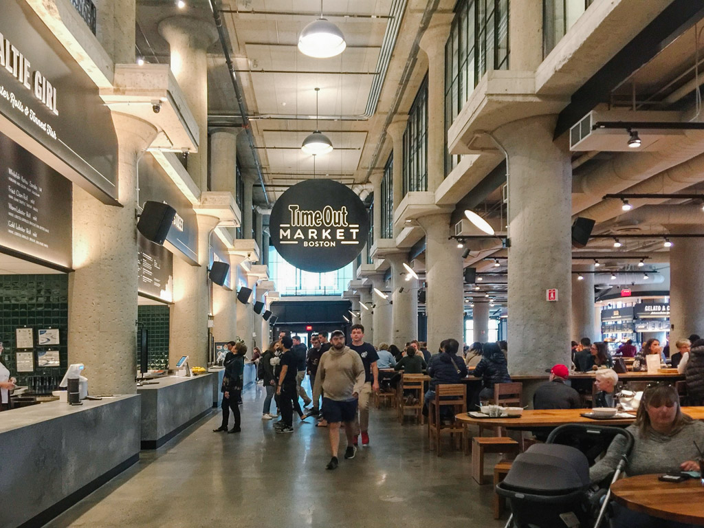 The new ‘Time-Out Market’ food hall © Urban Redevelopment Authority Singapore
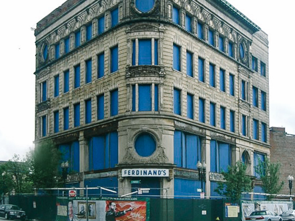 Bruce C. Bolling Municipal Building in 2009 © Boston Planning & Development Agency
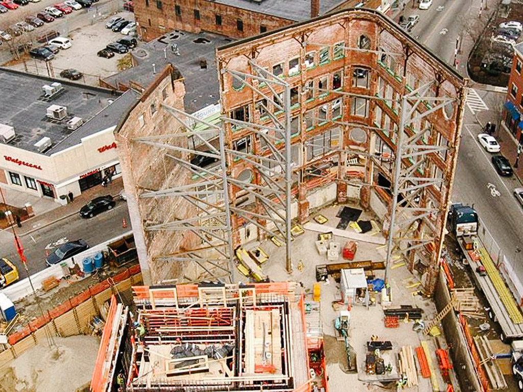 Bruce C. Bolling Municipal Building undergoing reconstruction. © Boston Planning & Development Agency
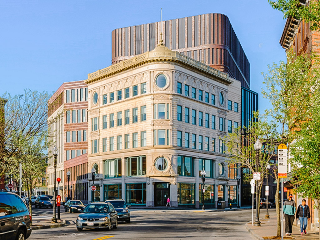 Bruce C. Bolling Municipal Building after reconstruction. © Boston Planning & Development Agency
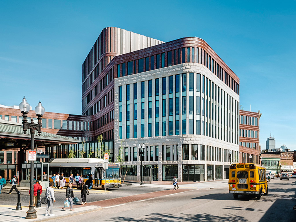 Bruce C. Bolling Municipal Building after reconstruction. © Boston Planning & Development Agency
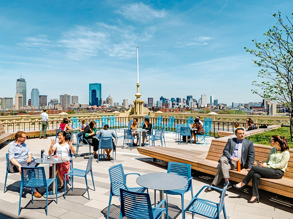 Public space on the rooftop of the new Bruce C. Bolling Municipal Building. © Boston Planning & Development Agency